UN
18 Ashurst Close
£ 310,000
Description
We don't have a Description for this property.
- Bedrooms
- 3
- Bathrooms
- 0
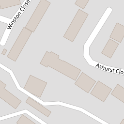
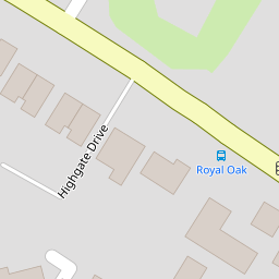
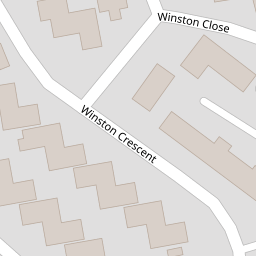
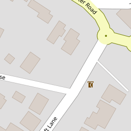
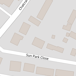

Leaflet © OpenStreetMap contributors
The heatmap indicates the level of crime in the area. The color of the heatmap indicates the crime severity and recency.
Metrics Year-on-Year
- Average area value
- 761,083.00 £Increased by 6.90 %
- Average area rental value
- 2,056.00 £/moDecreased by 3.34 %
- Est rental Yield
- 3.24 %Decreased by 9.75 %
- Crime Rate
- 12.00 %Unchanged by 0.00 %
from 711,963.00 £
from 2,127.00 £/mo
from 3.59 %
from 12.00 %
Nearby Schools
| Name | Type | Ofsted | Distance |
|---|---|---|---|
| Bartons Primary School, Bognor Regis | Community School | Good | 0.59 KM |
| Southway Primary School | Academy Sponsor Led | Requires improvement | 0.68 KM |
| The Regis School | Academy Sponsor Led | Good | 0.88 KM |
| Nyewood Cofe Infant School, Bognor Regis | Voluntary Aided School | Good | 1.33 KM |
| Nyewood Cofe Junior School | Voluntary Aided School | Good | 1.35 KM |
Images
Nearby Streets
| Name | Average Price | Average Sqft | Distance |
|---|---|---|---|
| St Clare’s Gardens | £ 0 | 0 | 0.00 KM |
| Herdwick Lane | £ 425,000 | 0 | 0.00 KM |
| Suffolk Gardens | £ 0 | 0 | 0.00 KM |
| Sherwood Close | £ 0 | 0 | 0.00 KM |
| Romney Broadwalk | £ 332,500 | 0 | 0.00 KM |
Nearby Transport
| Name | NLC | TLC | Distance |
|---|---|---|---|
| Bognor Regis | 5253 | BOG | 2.60 KM |
| Barnham | 5252 | BAA | 7.01 KM |
Nearby Listings
| Address | Price | Type | Score | Distance |
|---|---|---|---|---|
| Ashurst Close, Bognor Regis, PO21 | £ 325,000 | BUY | Unknown | 0.01 KM |
| Ashurst Close, Bognor Regis, PO21 | £ 300,000 | BUY | Unknown | 0.04 KM |
| Chalcraft Lane, Bognor Regis, West Sussex, PO21 | £ 375,000 | BUY | Unknown | 0.10 KM |
| Chalcraft Lane, Bognor Regis, West Sussex, PO21 | £ 299,950 | BUY | 6 / 10 | 0.12 KM |
| Bedford Avenue, Bognor Regis | £ 325,000 | BUY | 7 / 10 | 0.19 KM |
Nearby Properties
| Address | Price | Distance |
|---|---|---|
| 23 Ashurst Close | £ 95,950 | 0.00 KM |
| 3 Ashurst Close | £ 375,000 | 0.00 KM |
| 8 Ashurst Close | £ 243,000 | 0.00 KM |
| 20 Ashurst Close | £ 175,000 | 0.00 KM |
| 18 Ashurst Close | £ 310,000 | 0.00 KM |